Date: 3rd September 2023. For a change, with a companion, my friend and sometime work colleague, Stéphane Goldstein.
Weather conditions: Absolutely gorgeous. Unreservedly, a beautiful day.
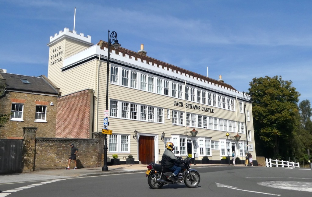
County Top bagged: Hampstead Heath, top of the County of London, although the exact location of the Top is a matter of debate. On both the 1:25,000 and the 1:50,000 OS map, a spot height of 440 feet/134m above sea level is suggested. However, the two maps disagree as to where this spot is located. On the 1:25,000 map it is marked at TQ264867, but on the 1:50,000 version it seems to be favouring a point more to the south-south-west, nearer the building known as Jack Straws’ Castle (pictured: a former pub, now apartments): this is more like TQ262864. Both points are within a 130m contour that appears on the 1:25,000, and when there on the ground, I definitely felt that the Castle was the highest point in the vicinity: the B519 seems, very much, to go slightly downhill from there.
The County of London is a historic county only…. kind of. What its example illustrates is the ambiguity between ‘historic’ and ‘modern’. This part of the world was part of Middlesex until the Local Government Act 1888 that created the new County. But if London therefore gets listed as a historic Top this highlights how some other county boroughs created by the same Act, such as Nottingham or Sheffield — essentially, independently governed metropolitan areas in the same way that they are now — are not counted on lists such as the one of historic Tops on Wikipedia. Certainly there would be more than the usually-quoted ’91’ if they were. But London does make these lists. Sometimes, anyway.
Hampstead Heath is the modern Top of Camden local authority, but as I’ve explained on the ‘About’ page of the blog (and see also the commentary below), I am not counting all the London authorities separately. Anyway, enough of this crap which is boring even me.
By altitude it ranks 87th of the historic Tops, and 163rd on the full list.
[ << Helvellyn, Westmorland/Westmorland and Furness (71) | (73) Weetslade, North Tyneside >> ]
Start and end point of walk: Started at Hampstead tube, on the Northern Line (Edgware branch) and finished at King’s Cross station. There were stops on the way for tea and lunch, but I was walking for about two hours. One could easily do the walk other way round, and it would probably be just as good, but finishing in Hampstead would mean more climbing.
Pub at end: My favourite pub near King’s Cross is McGlynn’s on Whidborn Street but sadly this was closed today for a private event. Stéphane and I therefore slaked our respective thirsts at the Dolphin round the corner on Tonbridge Street, this is also a decent pub and five minutes’ walk from the station, but it is also considerably more expensive than McGlynn’s and for no obvious reason.
Distance walked: 5¼ miles/8.5km approx.
Total ascent: 105 feet/32m approximately. The second-lowest amount of uphill of all my walks so far, behind only Stock Hill in York, and only just above Woolton Hill in Liverpool in terms of the least feet ascended per mile walked: today was 20 feet/mile, Liverpool was 19.5. However, if you did do the walk the other way around there would be about three times as much climbing.
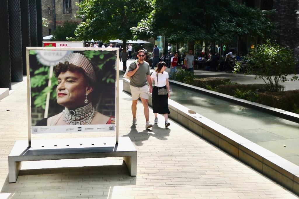
Difficulty: ★. Mostly downhill and all on good paths or pavements, so absolutely no reason to wear the boots today.
Ease of access: ★★★★★. We are in the centre of London. The entire British transport network is designed to get you here with as little grief as possible. It has to be five stars.
Scenic qualities: ★★★. Don’t underestimate the attractiveness of this place. It’s a shame I didn’t get a panoramic view of the city — although one is available from a part of Parliament Hill elsewhere on the Heath. But other than that there are plenty of things to see, from the semi-rural Heath itself to the banks of the Regent’s Canal and also some fairly decent urban architecture.
The area: London’s a World City without a doubt, and for at least a century or so, it was the world’s largest. I guess a lot of tourists and visitors come from other countries to see something quintessentially ‘English’ or ‘British’ but in fact I think it’s the least ‘English’ city in England, the least ‘British’ in Britain. Despite the stupidity of Brexit doing its worst it is still an amazingly diverse place that has totally grown on me down the years: see the commentary. It’s not easy to get out of (according to Stéphane who has lived here for a long time) but maybe that’s the point, it sucks capital in rather than spewing it out.
Overall then I can see the truth of the ‘tired of London, tired of life’ cliché, as I can’t believe anyone could become truly bored here — but it’s definitely more expensive than elsewhere to have a good time.
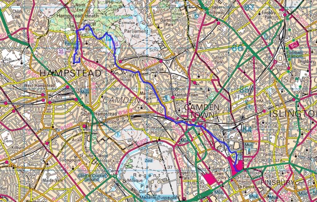
Map: OS Explorer 173 North London is an interesting document, and will give you more useful advice than Strava or other GPS tools as to where the actual summit might be (see the endless discussion above). But I only consulted it that one time.
Route: This is a good walk that pretty much anyone could manage in 2-3 hours. There’s plenty of variety to it, with it having four distinct stages: the climb up through Hampstead at the beginning; the Heath itself; a stretch of road walking; then the final stages along the canal. Starting at Hampstead means it’s mostly downhill or flat. Obviously in such an area there are plenty of alternative routes available but here is how we did it.
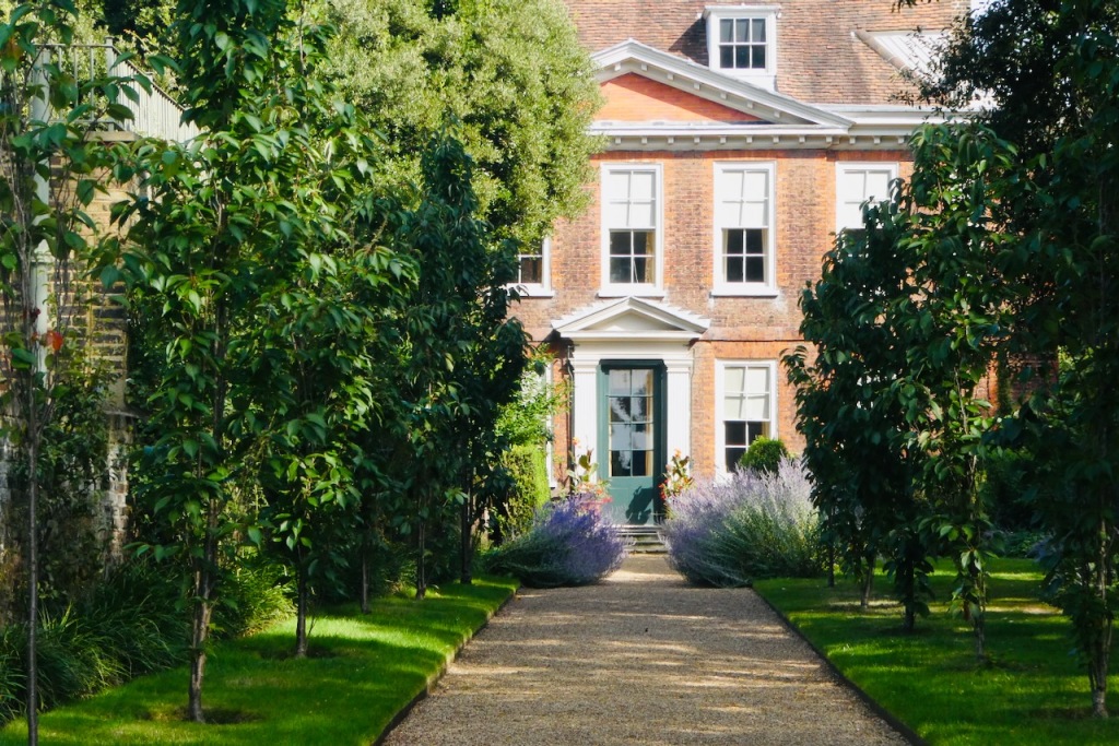
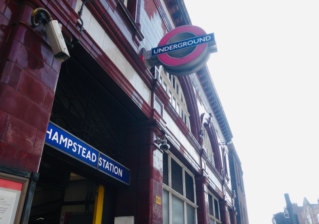
Hampstead tube station is the deepest in London at 192 feet underground, a sign of the height of the hill above. Stéphane decided we should do the ‘meandering scenic route’ through Hampstead so after leaving the station we turned left for a short way down Heath Street then right along Church Row. Lined with old Georgian town houses this is one of the most expensive streets in London, and that’s saying something. It leads to St John-at-Hampstead church, in which the artist John Constable is buried.
Head past the church a short way then turn right up Holly Walk. Pass the house marked by a blue plaque recording the former residency of Robert Louis Stevenson, keep climbing up Mount Vernon, then Hampstead Grove. This comes out at the little Whitestone Pond, beside the junction of Heath Street and West Heath Road. Round here, somewhere, is the summit, and as noted above there are various candidates — I note also a house named ‘Summit Lodge’ near the pond, as well as Jack Straw’s Castle ahead. But it’s the Castle that looks highest. The roads all seem to go downhill, just a little, from the roundabout and war memorial beside it. I was satisfied to consider it the Top on the day.
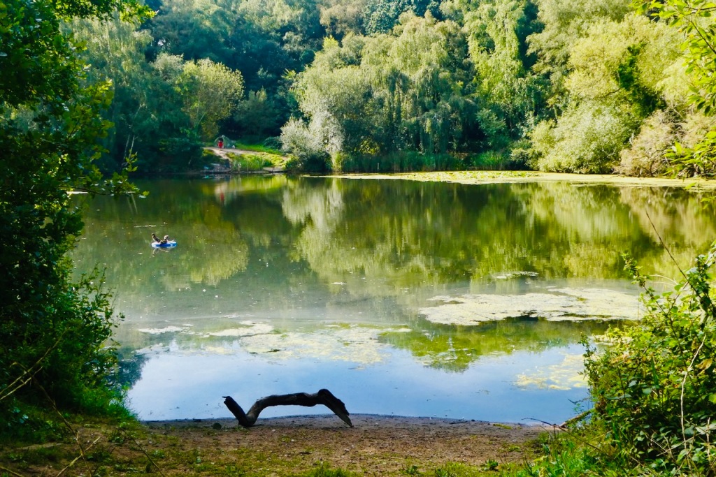
From this point, the valley known as the Vale of Health drops down quite steeply to the right (east). This valley is formed by the infant River Fleet, which, while allowed an early sight of daylight round here as a little trickling brook, spends almost its entire course underground, having been covered over piece by piece as London developed. It now is marked only by the names of streets such as Fleet Road (to be used shortly) and Fleet Street, as well as the otherwise-inexplicable bridge of Holborn Viaduct. (See this page for more on the Fleet.)
A multitude of paths drop down the Vale and there seems little point trying to specify an exact route, but we ended up first past the three linked Hampstead Ponds that are evident on the map. (Heading along the path that splits the first two of these looks like it would have taken us up to the Parliament Hill viewpoint if you want to add that to the walk.) This path comes out at Hampstead Heath (overground) railway station, from where carry on down the aforementioned Fleet Road. After a little while, turn right down Southampton Road and then Malden Road.
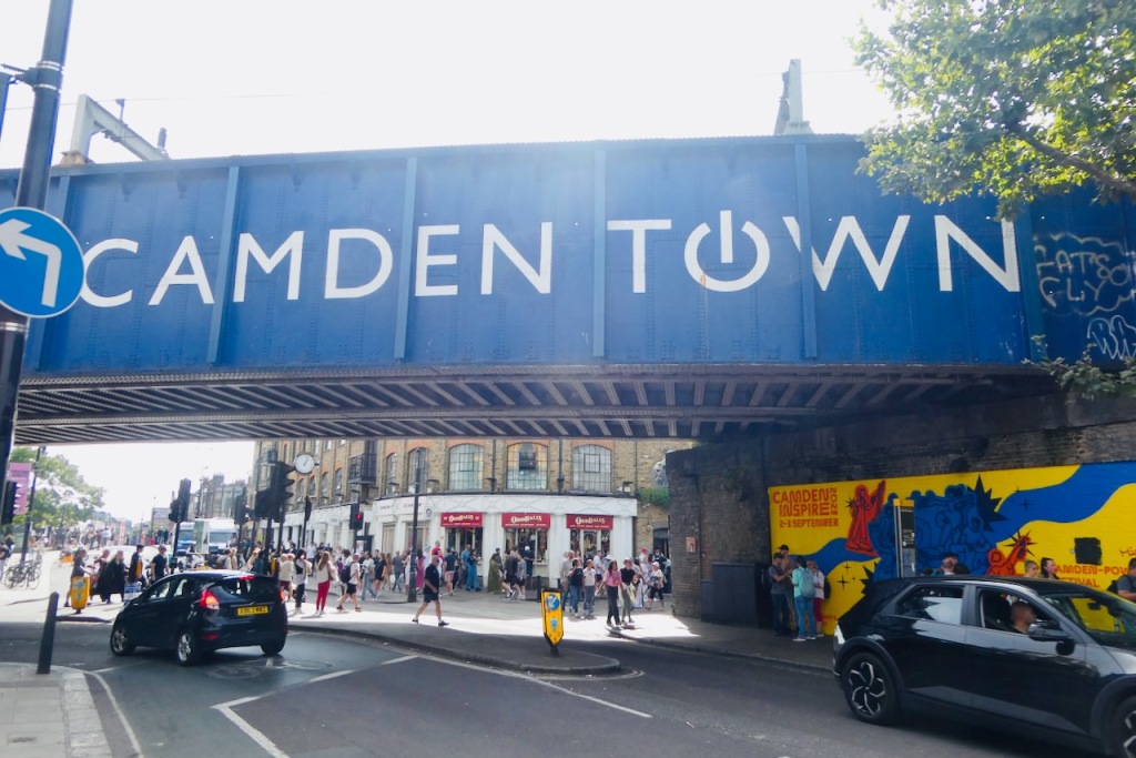
Malden Road becomes Ferdinand Street and then you are in Camden Town. In around 1990, when I was 21 and trying very hard to be cool in a kind of punk-goth idiom, this was the place to come and hang out and buy clothes, not just in London, but possibly the whole world. According to all and sundry it is ‘not what it was’ in 1990, but then again neither am I. Go under the bridge — pictured — and then bear left onto the Regent’s Canal.
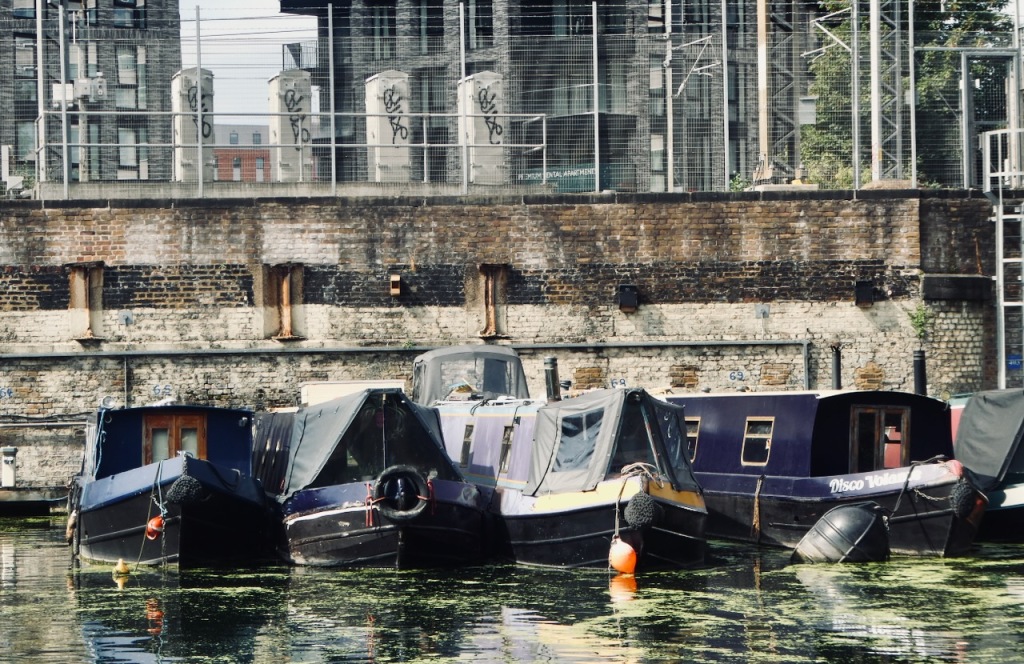
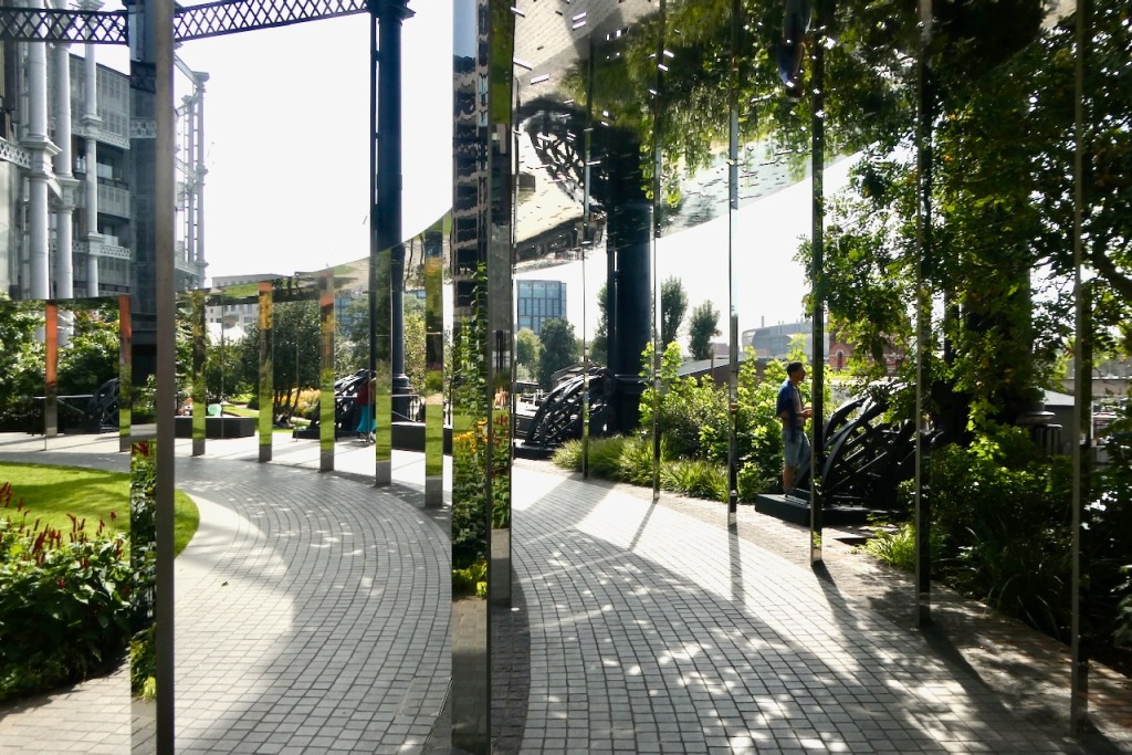
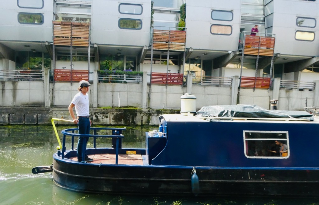
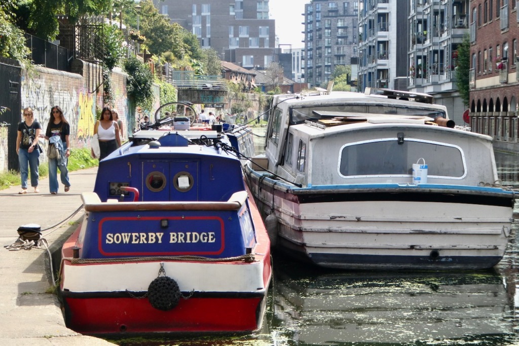
This canal is over 200 years old and links the docks of the Thames to the Grand Union Canal, which goes all the way to the Midlands. Nowadays it is used only for leisure barges, as home to boat-dwellers who jealously guard their very expensive moorings, and as a place for lots of people to take a walk on a sunny Sunday morning. Dodge the crowds as you follow the canal’s left-hand bank for the last 1½ miles or so of the walk. ‘Gasholder Park’ (pictured further up the page) is quite neat — a garden built in one of three old gasometers (the others now being more expensive real estate). There is also a nice café in the little nature reserve over a footbridge, where we had lunch. All this looks very different from how it did a few decades ago, when this was still an industrial area and King’s Cross a notoriously sleazy dive (see the movie Mona Lisa for instance).
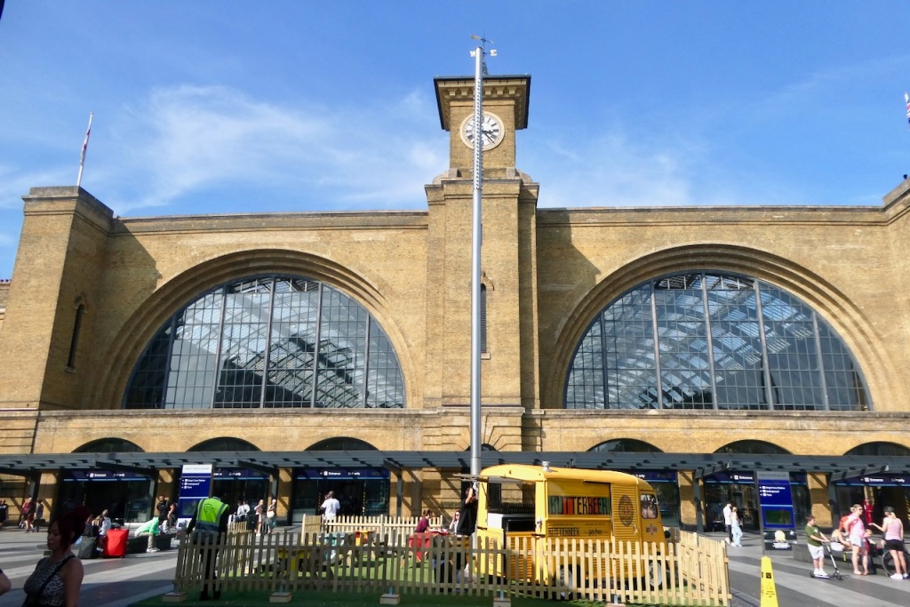
Eventually you come out into the open space of Coal Drops Yard. Here, leave the canal, heading right (south) through Pancras Square, and in a short time you will be at the twin King’s Cross and St. Pancras stations, from one or other of which you can get trains to the entire eastern half of the UK, not to mention Paris and Brussels if you want.
Capital Commentary: London took a while to grow on me. Until 1991 I lived in the south-east, and while I certainly hung out in the big city now and again, I don’t remember particularly liking it. And after moving to Yorkshire, it was a place I visited only rarely, partly because of the expense (being a student and all) but more because I just didn’t see the need.
The older I’ve got, though, the more I’ve come to appreciate what London has to offer. I do like its diversity; more than many cities it feels like an amalgam of dozens of little enclaves and communities rather than having a single centre. And it’s really very green; almost everywhere there will be some little park or garden or cemetery tucked just around the next corner, a place to sit and chill out for a while.
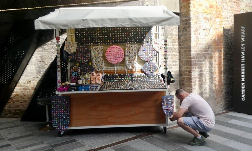
Yes, it’s been capitalised to a ridiculous degree and some parts of it ruined by ‘development’. Yes, it’s home to the British State, an ossified, monstrous, centuries-old framework of law and power that has done as much as anything else to suck the planet and its people dry of as much nourishment as it can, and yes, much of the rest of Britain might well be better off (at least in political terms) if we could detach it and let it float off somewhere into the Atlantic.
But I almost always have a good time here, and so it was on this weekend of glorious weather. And it was nice to meet up with Stéphane, who I’ve been acquainted with for a few years now, and who proved a knowledgeable and useful guide/companion today. He’s doing a good job of convincing me to go walking in the Pyrenees at some point, too: but that’s for another time.
Nevertheless I am still not intending to add all the separate London local authorities to the list. At least, not yet. Perhaps the summits of, say, Waltham Forest (which seeing as you asked, appears to be Pole Hill north of Chingford at 298 feet/91m) or Kensington & Chelsea (I think it’s College Park at about 130 feet/40m) are worthwhile walks but there are around 30 of these. It’s too much right now though maybe I’ll find reason to amble round some or all of them in my seventies, if I make it that far.
No, London in walking terms is adequately covered by four Tops, and I’ve now done three — Middlesex and Greater London for the outer reaches, and today for the inner city. One more remains, though, which is that of the City of London, as this has always been a separate territory, never part of Middlesex nor the County of London. So at some point I shall be designing a walk that takes me round the whole of the ‘Square Mile’: the smallest, and almost certainly the richest, county in the UK. I will be back to London many more times in my life and I’m sure I’ll find an opportunity to do this walk before too much longer passes.
2 thoughts on “72: Hampstead Heath, County of London”