
Date: 21st October 2023.
Weather conditions: Grey and with some light drizzle at times. It could have been worse, though: see the commentary.
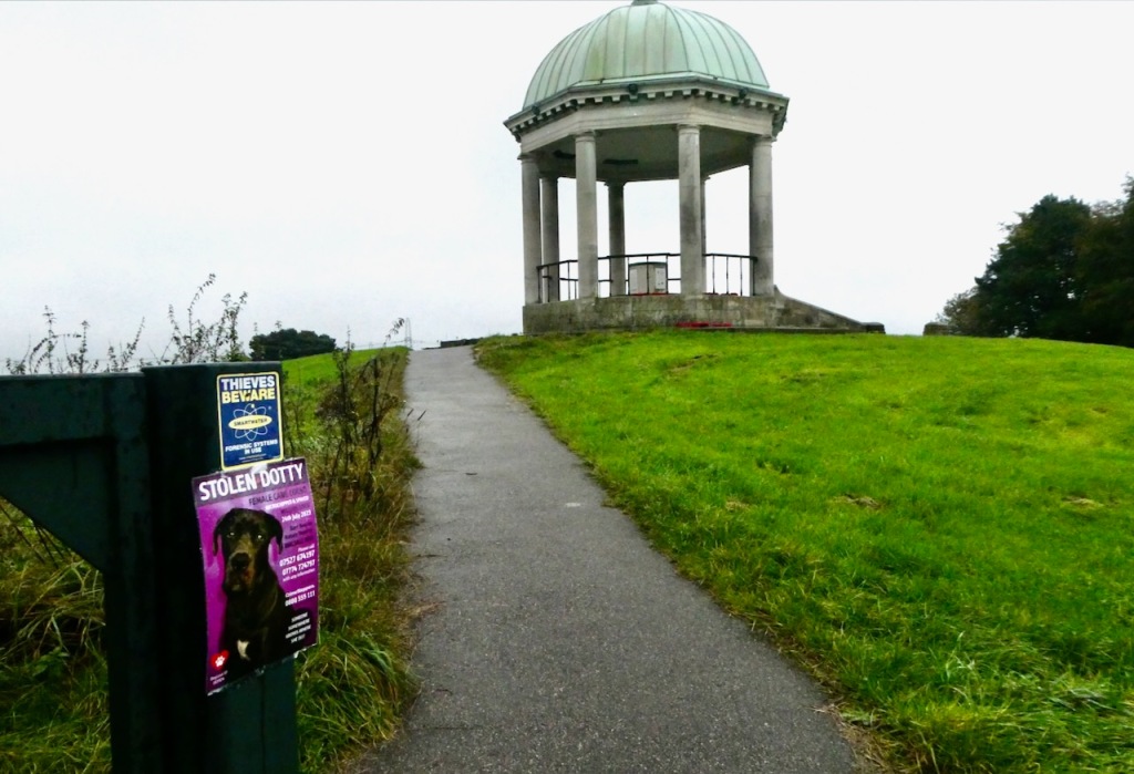
County Top bagged: Barr Beacon, the summit of which is 745 feet/227m above sea level, at grid reference SP061972. This hill was historically in Staffordshire, of which Cheeks Hill, way to the north, was (and still is) the Top. But when Walsall local authority was created in 1986, after the dissolution of the West Midlands metropolitan county, it became a modern County Top.
By altitude it ranks 108th of the modern Tops and 127th on the full list.
[ << Weetslade, North Tyneside (73) | (75) Twyn Ffynhonnau Goerion, Torfaen/Blaenau Gwent >> ]
Start and end point of walk: Started at Tame Bridge Parkway railway station. Finished at Sutton Coldfield railway station. There are plenty of trains to both of these destinations from Birmingham New Street.
3¼ hours was my time for the walk: a relatively fast pace is possible for most of it. While it could be done the other way around, I wouldn’t, as there are far more refreshment and entertainment options in Sutton Coldfield than at the start.
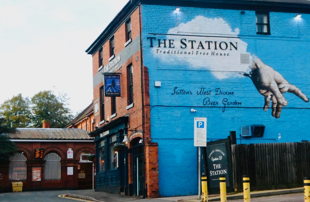
Pub at end: As its name suggests, The Station sits right outside Sutton Coldfield railway station. It’s got good beer and a big beer garden, with an outdoor stage, featuring, this Saturday afternoon, a female singer/guitarist who seemed surprised she was being asked to play outside in late October. She did a good job though.
Distance walked: 8.8 miles/14.2km approximately.
Total ascent: 635 feet/195m approx.
Difficulty: ★★. It’s close to being one star but there are some muddy sections, and it’s a moderately long walk (though could be shortened by the use of buses).
Ease of access: ★★★★. Trains run to both the start and finish points roughly every 15 minutes from Birmingham New Street station. This is definitely not a hard walk to reach.
Scenic qualities: ★. This is only the third one-star scenery award so far (the other two being Racecourse Road, Peterborough and Mapperley, Nottingham).
While, usually, I can find something of appeal in the drabber urban and semi-urban areas, there’s little to see today, and this applies the whole way round. Even a panoramic view from the summit would have scored, but you don’t really get that either. Perhaps it would have been better in more pleasant weather but that’s true everywhere, of course. And there’s litter, including more than one patch of obnoxious fly-tipping.
The area: Walsall is another one of those unassuming towns that, if people know it at all, is probably because of its football team — not that Walsall FC have ever done that much, their most famous ever result probably being a win over Arsenal in the Cup in 1933. Nevertheless the place has a long history, with the ‘Wal’ in its name referring to the ancient Britons, as in many other UK place names (e.g. Walsden, Wales, Walbury Hill etc).
What the town centre is presently like, I couldn’t say, I didn’t visit it today and have never been there. Sutton Coldfield seemed OK, but also an obvious suburban appendage to the big city rather than being a place in its own right.
Map: I am increasingly using only Strava while out on the walks themselves, but the Ordnance Survey maps (paper and online) are still indispensable for planning, whether in a general sense (what routes to the Tops are feasible, from which starting points?) and more specifically (which paths might I take?). Useful as it is on the ground (is that the path I want?), Strava isn’t much help with those things.
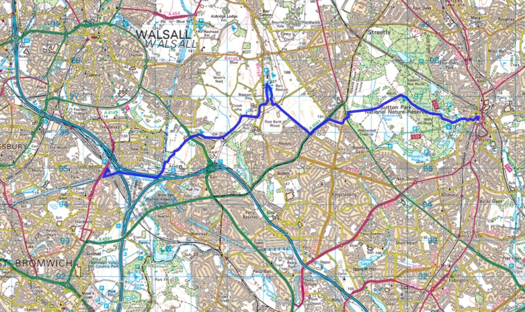
Today’s planner document was OS Explorer 220: Birmingham. On this summary map the walk proceeds from west to east (left to right) with the summit in the middle.
Route: I struggle to recommend this one, at least by the route that I took. It’s not that the surroundings are unpleasant, because they’re not, but there isn’t much to see, whether in the more urban or more rural parts of the walk. What wide-ranging views that are on offer are glimpsed, here and there, rather than enjoyed in leisurely fullness. And despite much of the first half being along a designated path, the “Beacon Way”, there’s too much road-walking, including along sections without pavements, and some other parts of this path are overgrown.
For the completion of records, though: come up the long exit ramp of Tame Bridge Parkway station, turn left then left again, and then bear right up onto the canal (the first rash of fly-tipping was here: not a great start to the walk). Turn left down the towpath and then just stay on this for about a mile. This is the Tame Valley canal, another branch of the extensive West Midlands canal network that I encountered a few months ago at the Netherton Tunnel. It would be a more tranquil spot if the M6 weren’t thundering away a few yards to your left, not to mention the high-voltage electricity wires fizzing and popping as they ride by on the pylons overhead.
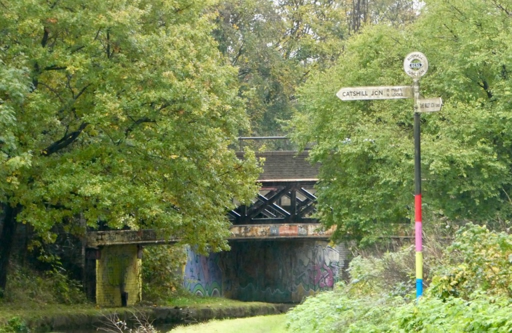
Carry on until reaching the junction (pictured), then turn left along the branch canal, heading under the motorway (where is painted the rather good street art depicted at the top of the page). Keep going past the first bridge, then use the second to leave the canal to the right.
At this point the OS map seems incorrect, or has been made outdated. It suggests that the Beacon Way follows the cycle path, but on the ground this leads the wrong way, and there is also no signpost to help here. To stay on the Beacon Way you instead need to bear left immediately after coming out into the area of open heathland, a path that is discernible on the ground but squeezes you between brambles and the big fence enclosing the Aston University sports grounds. Not a very enjoyable passage.
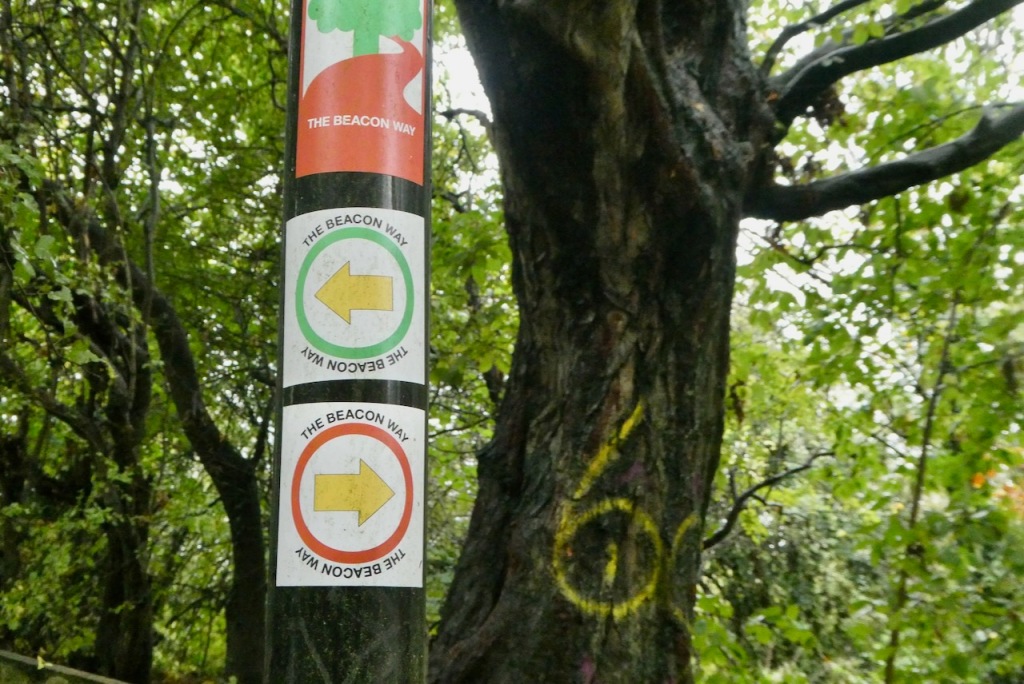
Once you reach the car park, go straight over the road and into Merrion’s Wood ahead. Keep following the Beacon Way signs, which lead you out onto a road at a clutch of buildings by a church. From this point the signs point up the road, Chapel Lane, which is all well and good until that road loses its pavement, a state of affairs that persists for quite some distance. The occasional Beacon Way signs that are then passed just seem to be poking fun at the pedestrian. I did not enjoy this bit either: the road is a busy one.
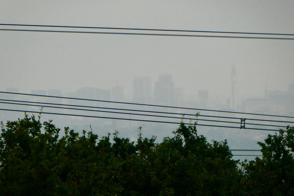
Eventually, escape is possible through the gate to ‘Barr Beacon Quarry’ ahead, but tarmac is here exchanged for mud. The path ascends and curves round to the right, crosses the B4154 at the top and climbs, through the car park, onto the summit plateau of Barr Beacon. The views from here are touted as being very extensive — the Wikipedia page claims eleven counties can be seen — but the plateau is fringed by low trees and other sundry vegetation that blocks out much of what might be visible.
The building on the summit is a war memorial. According to the OS map there is a trig point beside the reservoirs a few yards further north, but this is behind a fence and cannot be accessed, so the memorial may as well be treated as the summit.
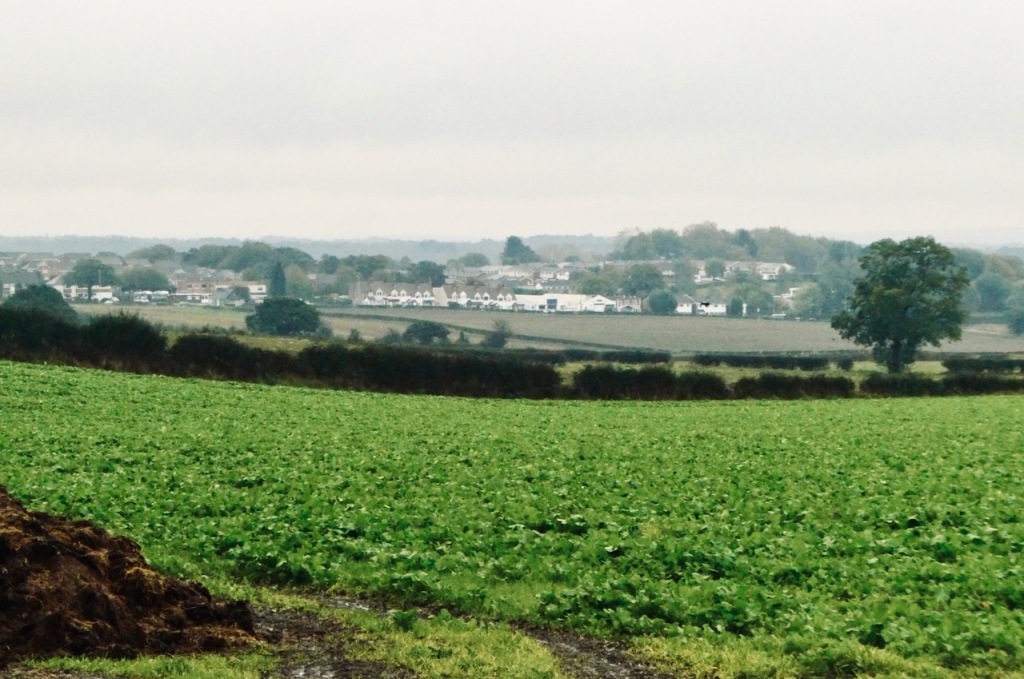
Had I not already committed myself to the rest of the walk through Sutton Park to Sutton Coldfield I could have got a bus back to Birmingham from here; they seem to run every half an hour along the B4154. But I carried on, dropping off the plateau down a steep slope onto Bridle Lane, then turning right down the straight Doe Bank Lane, from where can be seen the day’s only real distant views, over a patch of farmland that one imagines is soon to be turned into the latest estate full of executive housing.
How you negotiate the estate that presently separates this point from Sutton Park is up to you, but I walked beside the dual carriageway for a while, then entered the park by a small gate near the Travelodge on the A452. Bear in mind the Park is a huge expanse of heathland, and there’s still about 2½ miles to go from here.
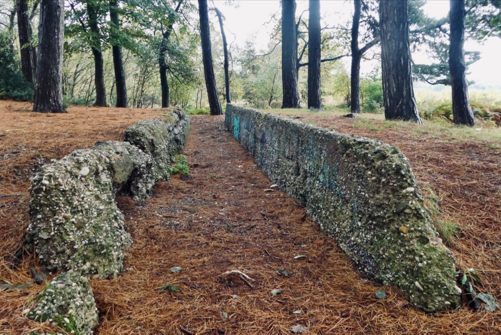
I headed along a broad track (‘Lord Donegal’s Drive’) that rises to a memorial in more-or-less the centre of the Park — it commemorates a giant Scouting Jamboree, apparently — then turned south-east, descending gently down through the trees and coming out into the more manicured, urban parts of the Park. The road carries on down to the Town Gate, and from there, the railway station, with its very good pub next door, is only a few more minutes’ walking.
Storm-dodging commentary: I didn’t dislike this walk; I very rarely do dislike them, and if I ever do it’s because of real routefinding problems, blocked paths or something similar. Although this walk came close at a couple of points there was none of that in the end. But the fact the Beacon Way led me for such a significant distance up a busy, narrow road with no pavement did irritate (is that really the best, or only, available route?). And overall, it was just a bit dull, with even Sutton Park being a vast patch of unexciting heathland. Prime dog-walking territory, definitely, but not much for the explorer. Like I said, sunshine might have helped, but it was what it was. Good exercise, at least.
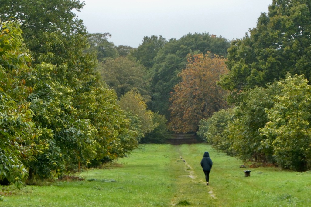
These negative points were accentuated due to this not being the walk I had planned for the day. The original destination was the Malvern Hills, and Worcestershire Beacon, which really is prime hiking, at least if the available photos and route descriptions are anything to go by. I have been staying in Birmingham this weekend with Clare, in attendance for the same conference that got us to Portsmouth this time last year, and that would have reduced the journey to Great Malvern to under an hour, making it an easy day trip.
But we have been living under ‘Storm Babet’ since Thursday afternoon. I feel we made Birmingham on Thursday mostly by lucky chance. On Facebook at about 3.30pm that day I saw that a friend had been marooned in London due to the train companies cancelling everything heading north. Exactly at that point I was sat in a pub beer garden in Stafford — on his route — enjoying a pint in balmy and pleasant weather. But the forecast said, bad weather, and the storm had a name, so it must be happening, right?
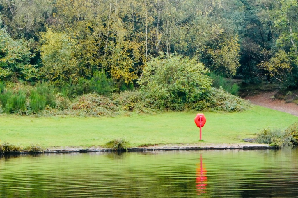
Anyway, we made the weekend away, and without incident. This might not be the last CT of October, with possible plans for the 30th or 31st: plans are weather dependent, but after three urban ones in a row, it’d be nice to get up a proper mountain.
While we were away the Labour Party claimed big by-election wins, including in Tamworth, a previously solid Tory town not far from Barr Beacon. Birmingham City Council nearby has basically gone bankrupt thanks to misguided spending on a new IT system. Others are about to break under the cost of caring for and housing people priced out of affordable places. Shelter, the charity, display figures about 1 in 4 being victims of the ‘housing emergency’. I guess it’s good that incompetence is finally being recognised after 13 years of this crap, but on the other hand, anyone thinks the current Labour Party will sort it out, you’re welcome to them.
2 thoughts on “74: Barr Beacon, Walsall”