Date: 16th March 2024.
Weather conditions: A pleasant and sunny morning. There may have been other ‘first day of spring’ moments around the place this year but today was the first one of them anywhere near me.
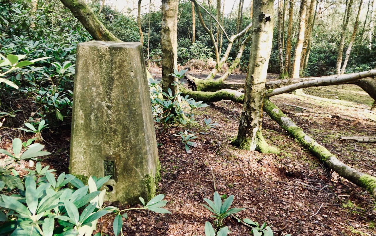
County Top bagged: Bow Brickhill Heath, which is the highest point in Milton Keynes local authority. At grid reference SP917342 there is a trig point with a spot height of 561 feet/171m, and the Times Atlas of Britain lists this as the summit of the county, but it’s up on a flat plateau and there may well be other points in the vicinity of equal or greater height. Strava reckoned I got up to 571 feet on the day. But this is the highest measured point.
Historically this was in Buckinghamshire, of which Haddington Hill (bagged over four years ago now) is the Top, but it achieved modern CT status when Milton Keynes was placed into its own unitary local authority in 1997. By altitude it ranks 122nd of the modern Tops and 142nd on the full list.
[ << Penlle’r Castell, Swansea (78) | (80) Wold Newton, North East Lincolnshire >> ]
Start and end point of walk: Started at Bletchley railway station, finished at Woburn Sands railway station. Both are on the Marston Vale line, which connects Bletchley and Bedford. This is the still-open remnant of a route that once connected Oxford and Cambridge, and which there are plans to fully reopen at some vaguely defined future date. As it is, trains are hourly, although not on Sunday. Bletchley is only a few minutes from Milton Keynes Central station, to which there are many trains.
The walk took me 2½ hours. It would work much the same if done the other way round.
Pub at end: I completed this walk in the morning and arrived at the Station Tavern, Woburn Sands, at 11.20. I was very happy to find out that it was open and serving beer at that time: indeed, according to the landlady it does so every day from 9am (except Sundays when they have a lie in and don’t open until 10). Even regardless of these generous opening hours this seemed a nice spot and served reasonable beer.
Distance walked: 7½ miles/12km approximately.
Total ascent: 450 feet/135m approx.
Difficulty: ★★. The walking is easy, with most gradients almost imperceptible, but it is muddy, so wear boots.
Ease of access: ★★★★. Subject to the need to change trains here and there this isn’t a hard walk to reach, and could in fact have been done on a day trip from home in Yorkshire, had I felt so inclined.
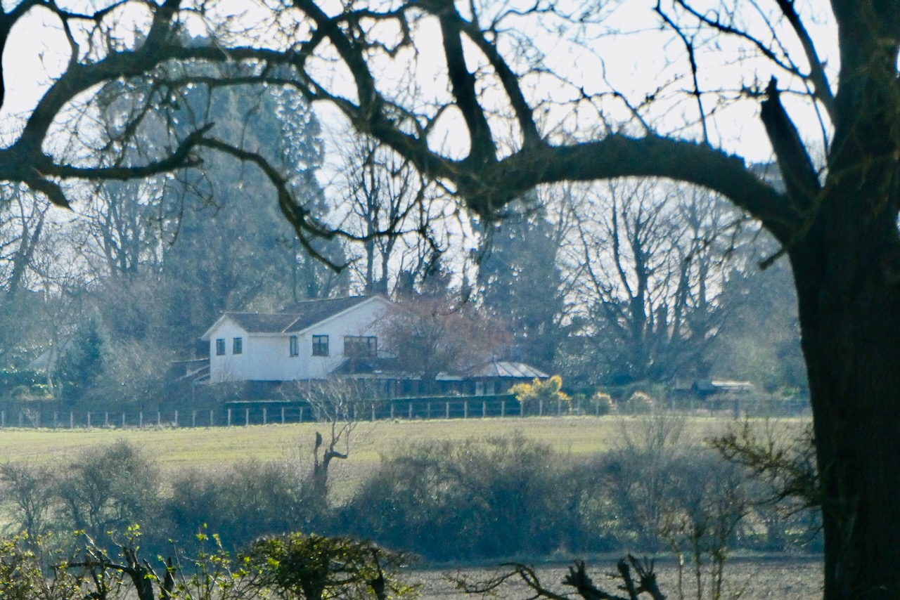
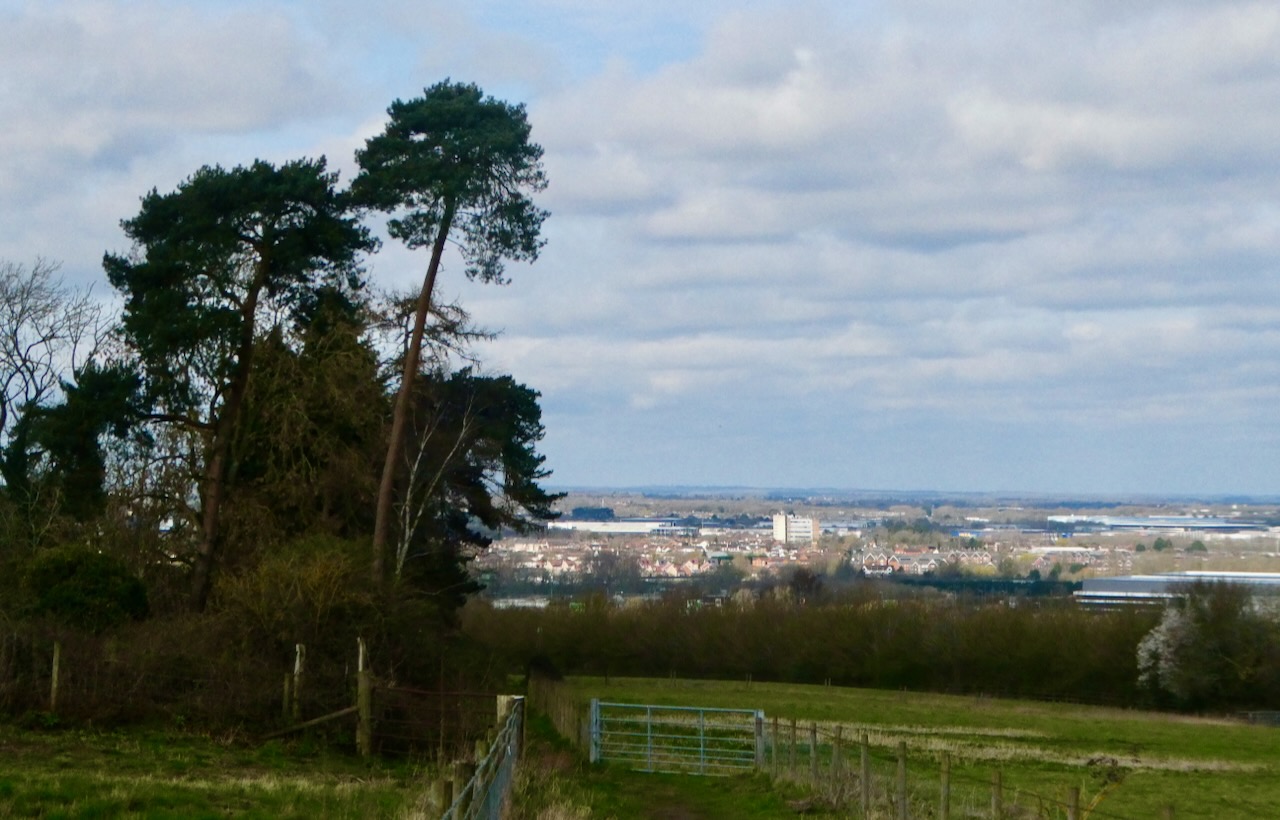
Scenic qualities: ★★. There’s not a great deal to see, and it’s a shame that potential panoramic views to the north from later on in the walk are blocked by trees. It’s reasonably pleasant countryside however, and, I noted, largely free of litter.
The area: Milton Keynes is the largest and probably the best-known of the UK’s ‘New Towns’, planned and developed from the 1960s to relieve housing shortages in the big cities. It does have a reputation for a kind of brutalist sterility of style that, in the centre at least, is somewhat deserved. The road system divides the whole city into large blocks, within which the housing nestles, unseen by anyone driving along these main arteries. I understand the motivations for this but it means that one can drive across the whole place without getting the impression that the city itself is there at all.
Still, there are things to do and see here, particularly the museum of Bletchley Park, which while quite expensive (my ticket was £23.40, bought online in advance) is well worth the money. This is where World War 2 was, arguably, won by the thousands of (predominantly female) staff who worked to break German ciphers. As it’s right outside Bletchley station you could spend the afternoon there after walking in the morning.
Map: OS Explorer 129: Buckingham and Milton Keynes was worth packing, particularly to help find the actual summit.
Route: This is not the most exciting walk and there are some definite muddy sections towards the end. On the other hand, despite concerns in advance, all the paths were easy to negotiate and quite well-signposted, and the whole thing was decent exercise on a pleasant, sunny morning. There is one busy road to cross, though, which does need care.
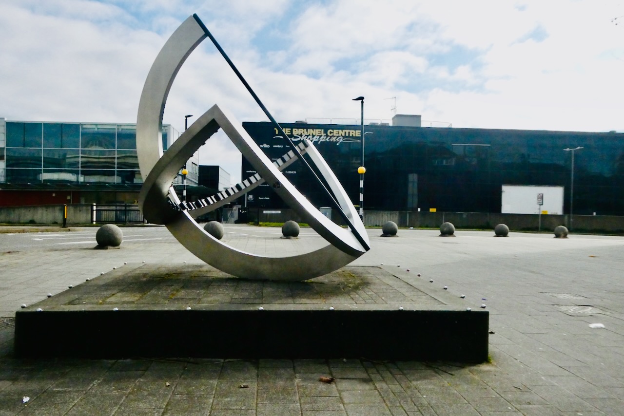
From Bletchley station entrance, turn left and drop down a stairway to the main road. Go left, under the bridge, pass the sculpture pictured here and carry on into the town centre. After a while, turn right onto Brooklands Road and carry on until this crosses the little creek that is Water Eaton Brook, which follow to the left for a few hundred yards.
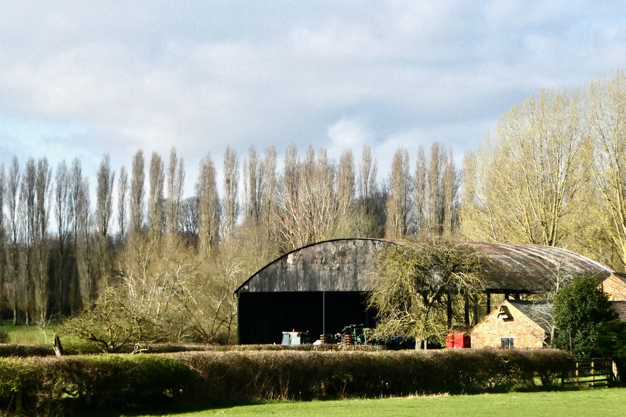
When this route comes to an obvious end, as it is blocked by the embankment of the Grand Union Canal, bear right. Just past a thatched cottage, turn left along Mill Road, which takes you up over the canal and then out into open countryside. By the farm buildings, cross the little River Ouzel using the concrete bridge on your left: the bridleway which heads across the fields from this point looks unpromising at first but it is not too difficult to follow, and the gates are all signposted to reassure you that this is the right direction.
This path crosses the A4146, and do take care here as it’s a busy road along which cars travel quickly. On the other side, the gate into the next field is just to the left of the little layby. Here is the only point at which this path is difficult to follow, and I headed too far to the right at first, but checking the OS map (and Strava) reveals that the route takes you to the left of the hedge that is ahead. Follow this until reaching the side of the A5: the bridleway then turns to follow the road, through trees, and brings you out onto a pavement which you need to use for a while.
Approaching the village of Little Brickhill a sign suggests you can take a non-road alternative path round the back of the houses, advice I followed. This comes out through a neglected farmyard onto a lane near the church, turn left here and follow it up a stairway then down another one onto a road, where turning left takes you over the A5 on a bridge.
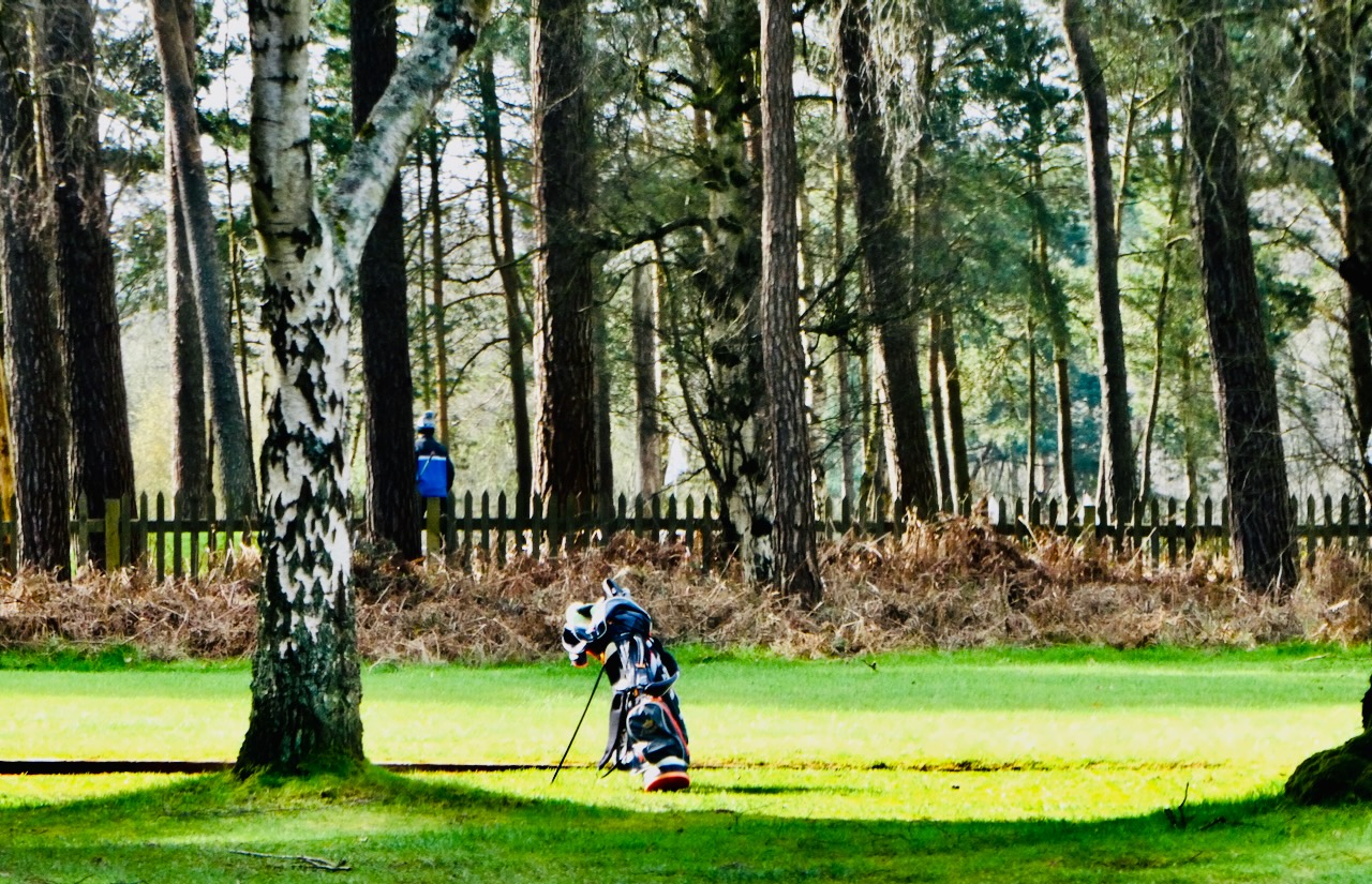
Follow this lane, then turn left at the junction, signposted to Woburn Golf Club, whose territory you will be passing through for at least the next mile and a half. After a short stretch walking on the road, bear left up a wide path that heads, more or less dead straight, between endless fairways, tees and trees and greens and trees.
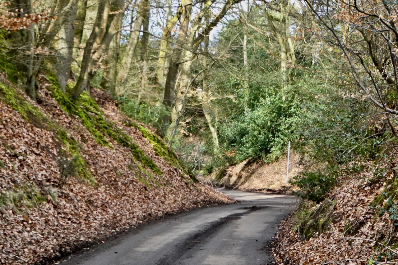
Where this comes out onto a road, Strava suggests the route lies straight on but this does seem protected by a ‘Private’ sign: perhaps I missed something here, but in any case I turned left and dropped downhill for a bit — this is a classic example of a ‘sunken lane’ — before turning right, up into the woods. Bear right where you can and you will end up on a rather muddy path through the trees that keeps another fairway just to the right, over the fence. In due course this will lead you to the summit trig, almost concealed by undergrowth, but it’ll be there, on the right.
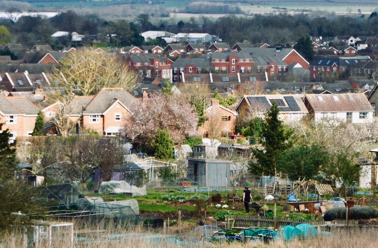
From here I basically let Strava point me in the right direction as there are many paths through these woods — and also hints of a great view just out of sight. I bore generally north-east, dropping down along paths that became very muddy, and emerged onto the lane that passes allotments and reaches the south-eastern corner of the village of Woburn Sands.
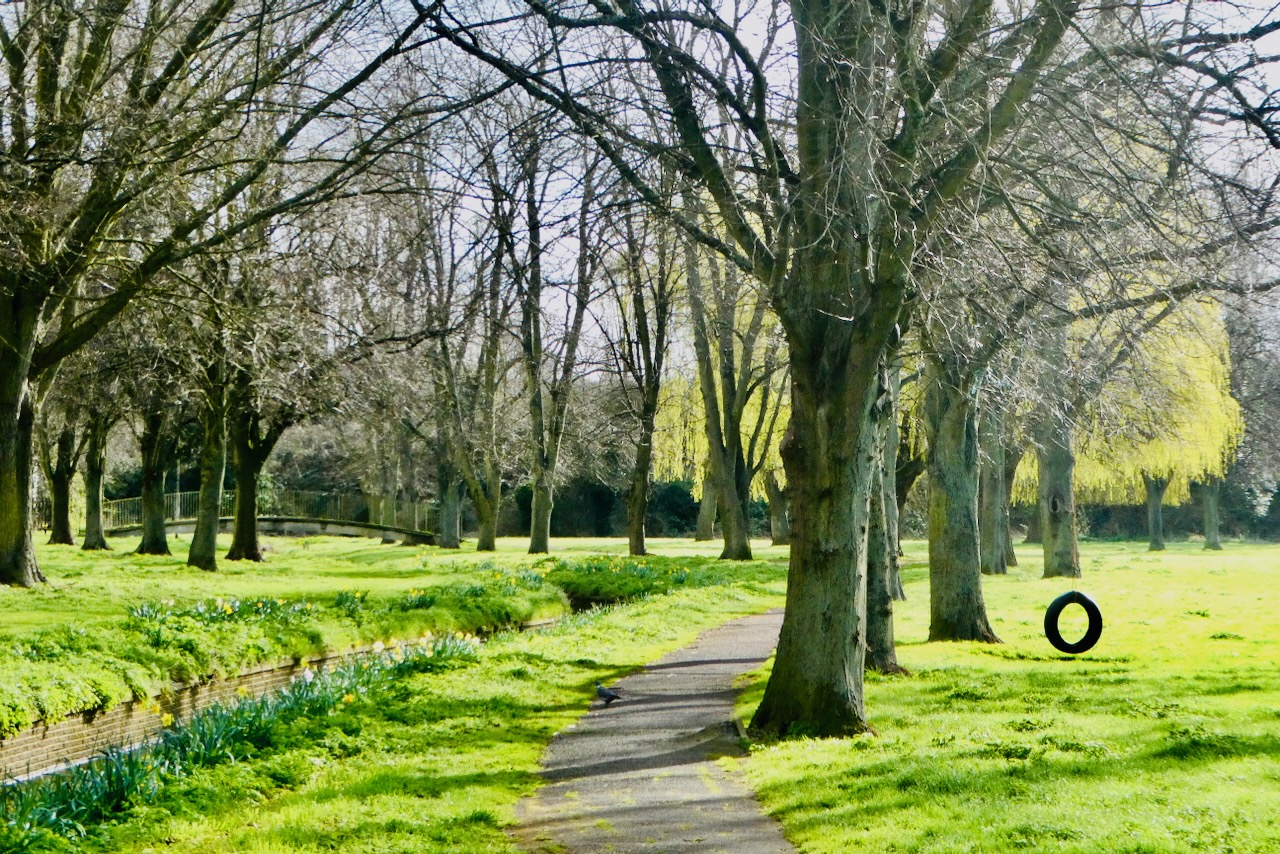
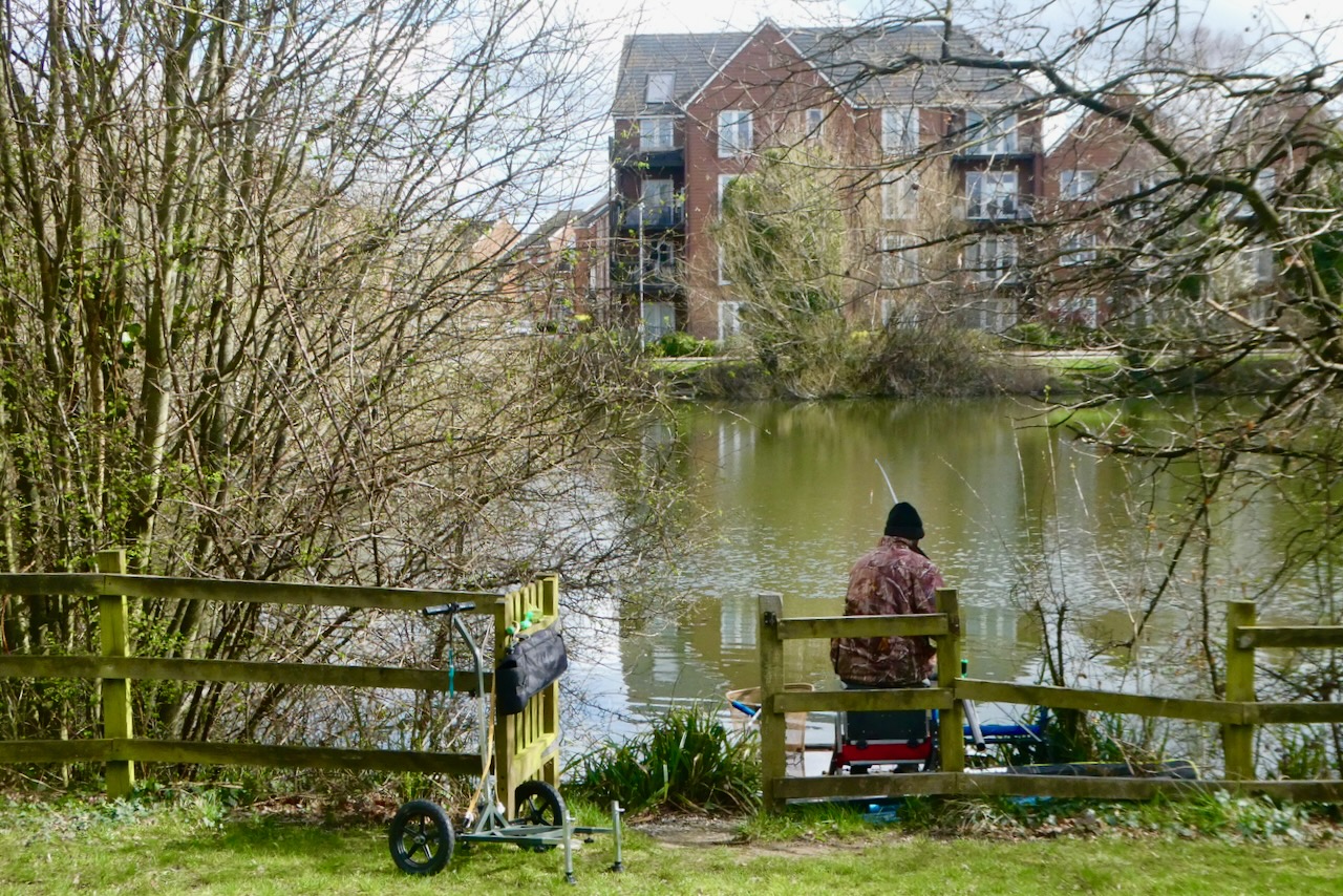
Here, turn left, and a roughly straight course can be kept past various housing estates and a pond in the park (pictured with optimistic angler), coming out at Woburn Sands station and its adjacent pub.
New Town Commentary: The point of this project is to see my country as fully as I can, and without it I probably would not have conceived the idea of spending a weekend in Milton Keynes — and on my own, too. This is the person I seem to have become, though.
The place definitely has something of a bad rep, although not for anything specifically negative (e.g. crime), unless perhaps you are a fan of English football in the traditional sense, as the way it captured the former Wimbledon FC to form MK Dons a couple of decades ago, like the Borg’s ‘you will be assimilated’ deal, still rankles somewhat. Other than this I don’t think it’s that people have anything against the place, it just has a general reputation for being boring, a sea of bland housing estates. I guess after three days here I can say, there is some good in all things, though what it’s like to live here full-time I cannot say. They pick the litter up at least.
Bletchley Park was certainly worth seeing, too. Walking around it now, despite all the visitors (and it wasn’t over-crowded) it’s possible to evoke what it must have been like seventy years ago in the 1940s. Everything inside the building is a replica but still, it was quite cool to see Alan Turing’s actual office, in ‘Hut 8’, and evoke the atmosphere of a setting in which only a very few people knew the ‘big picture’ but everyone else just worked away on obscure tasks that all mattered and all came together in a bigger whole.
It seems like a while since I last bagged a CT, in Swansea — nine weeks. It might be a little while before I get another one, too, as after Easter I’m out the country for a while: before Easter if a gap opens up and the weather looks nice I am going to do my last Wainwright walk in preference to any more of these.

3 thoughts on “79: Bow Brickhill Heath, Milton Keynes”