Date: 13th December 2019. Friday the 13th, if you believe in that kind of thing.
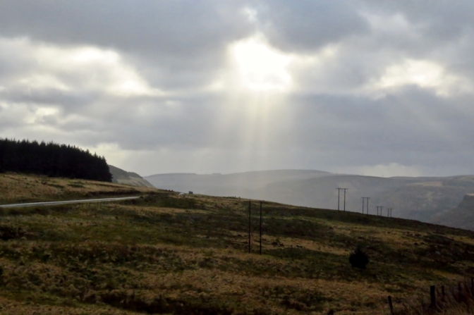
Weather conditions: For the time of year, decent enough. It could have been a lot worse. The forecast predicted both high winds and showers, neither of which emerged. It was a bit gloomy but I was grateful for small mercies.
County Top bagged: Craig y Llyn stands at 600m/1,969ft above sea level, at grid reference SN906031 and was the highest point in the historic county of Glamorgan. This county has now been split into several different local authorities. As a modern Top, it serves two of these, being the Top of both Neath Port Talbot (where the actual summit resides) and Rhondda Cynon Taff, which does not quite lay claim to the summit but reaches up to within a few yards of it, and accomodates almost all the walk described below.
Rankings by altitude:
- 43rd of the 91 historic Tops;
- 33rd of the 172 modern Tops;
- 50th of the full list of 196.
Of the 13 historic Welsh county tops, this was the southernmost. Across the width of Britain, there is only one higher county top (historic or modern) south of here, High Willhays in Devon (621m/2,037ft).
[ << Clackmannanshire — Ben Cleuch (5) | (7 & 8) Hertfordshire — Pavis Wood and Buckinghamshire — Haddington Hill >> ]
Start and end point of walk: Treherbert railway station. This sees trains every half an hour to and from Cardiff Central. The walk took me about three and a half hours.
Pub at end: The Dunraven Hotel in Treherbert served me a pint of Guinness at the end of the walk, although it doesn’t do food nor real ale, and one might wonder if it is open at all on Friday lunchtimes in December. Perseverance got me through to the bar in the end.
Distance walked: 9.3 miles (15km) approximately, there and back.
Feet of ascent: 1475 feet (450m) approximately.
Difficulty: ★★★. There is nothing actively difficult or dangerous underfoot, but the path going up the Rhondda valley is rough in parts, and you need proper footwear. It is mostly a dry walk, but there are a couple of soggy patches. I would avoid it in the summer, at which time much of the middle of the walk will be choked with bracken.
Ease of access: ★★★. Treherbert is easy enough to get to on the train from Cardiff. Although the service trundles somewhat through the Rhondda valley, at least it is still regular (every half hour). Unfortunately everything ends there, and no public transport routes come in from the north — it would be nice if buses plied the A4061 (Trehebert – Hirwaun) as this would enable you to get almost to the altitude of the summit on this road. But without a car, you have to come up the Rhondda from the south. A day trip from home in Yorkshire would have been possible, but a very long day; staying over somewhere in south Wales is more realistic.
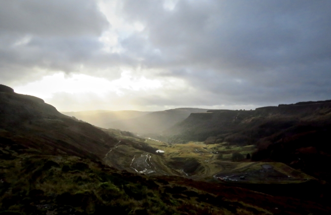
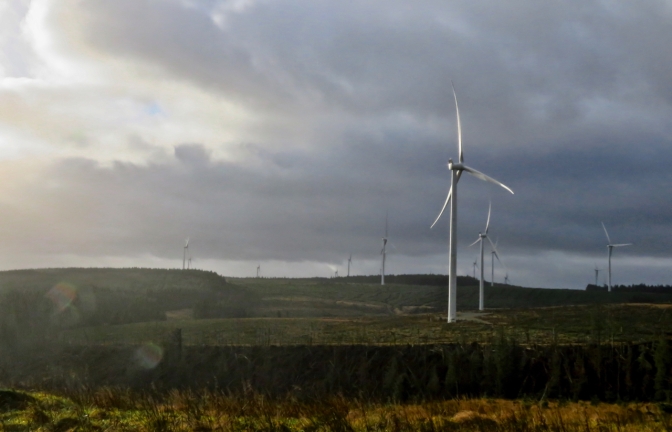
Scenic qualities: ★★. I did consider an award of three stars, so let’s call it two and a half perhaps. But the map doesn’t promise much, and it is a little drab. The first two-thirds of the walk involves an ascent of the upper valley of the Rhondda Fawr, and this has its attractive moments. But the top of Craig y Llyn is blanketed in both plantations and a gigantic wind farm. There are some views of the Brecon Beacons to the north from later on in the walk but nothing all that spectacular. This is one of those county tops that doesn’t really feel like one, with little impression of being on the highest place for miles around.
The area: Glamorgan hasn’t been a functioning county administratively for decades now, as much due to its success as anything else. As home to both Cardiff and Swansea, Wales’s two biggest cities, its population is probably as big as the rest of the principality combined, so it was long ago carved up into smaller entities, several of which have their own Tops these days that are barely lower than Craig y Llyn.
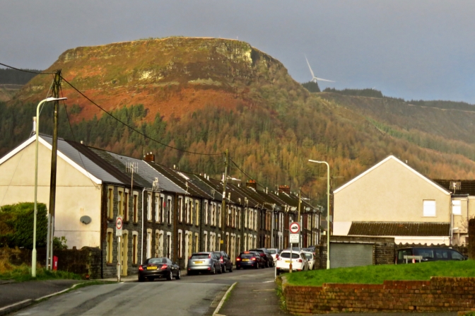
Treherbert, at the end of the train line and the valley, wouldn’t be the kind of place you’d choose to visit on a holiday, walking or otherwise. Numbers of its shops were boarded or shuttered up. It may well be more welcoming on a warm day in May, but then again this would be true of anywhere. More or less this is what I imagined a Welsh former mining village to look like.
Map: OS Explorer 166 Rhondda and Merthyr Tydfil was necessary for the latter part of the walk, at least.
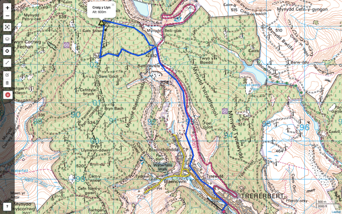
The summary map shown here reflects the fact that for most of the walk, you are tramping the same path twice.
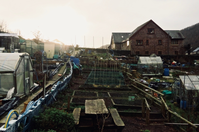
Route: From Treherbert station, take the access road out onto the main A4061, and turn left (although if you want supplies for lunch, note the Spar supermarket a hundred yards down the main road to the right). Once the main road starts to curve up the hill, drop down onto Park Place and take this out of town, as it then becomes Blaencwm Terrace and then, past the allotments at the end, Coldra Road.
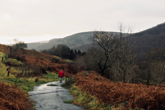
Climb up past the last houses and through the gate. Stick with the tarmac lane for a while, until a point at which you are below the mobile transmitting station up on the road, where bear right up a path that rises gradually to the level of the road and then keeps going up the side of the valley, parallel to the highway but largely hidden from it.
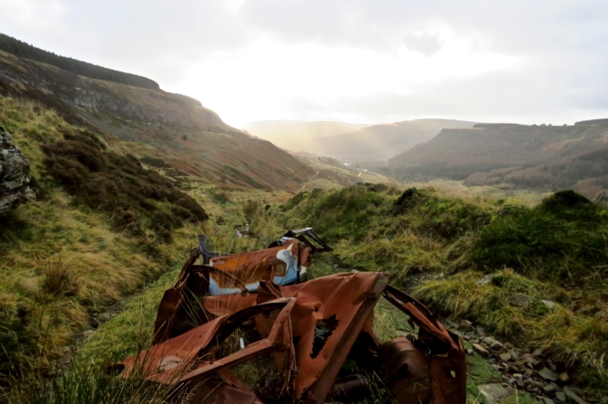
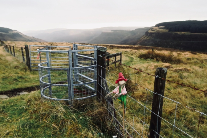
This path eventually comes out onto the road at the gate with the memorial cross and the scarecrow doll (pictured lower down the page), and unfortunately there seems no alternative to having to use tarmac for a few hundred yards at this point. On the whole, it is safe, but we could do without the litter that always accompanies main roads, don’t you think?
At the obvious access road for the wind farm, escape from the A4061 to the left. Here I was trying to follow the National Cycle Trail #47 marked on the map, and by some signs on the ground, but these are not very clear. I should have borne right at the first major junction but ended up ignoring this and heading along the access road further south, which eventually comes out at the wind farm’s substation, clearly marked on the map at SN904022 but not where I originally intended to be.
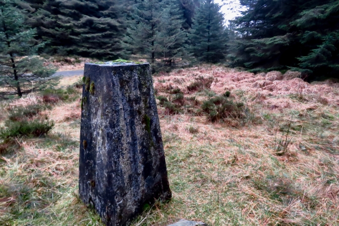
No matter though. I turned right (north) on reaching this point, and this straight track led back across the Cycle Trail and then, just north of this, to the unassuming trig point (pictured) that marks the highest point of Glamorgan (and Neath Cynon Talbot etc.). Surrounded by pines, and dwarfed by them, you would never realise this column marked the summit of the county without the backup of the OS’s authority. But let’s accept it.
I carried straight on past the trig, onto a path at the edge of the woods, then turned right onto a path that (on the map) promises distant vistas but actually offers no more than vague views north to the Brecon Beacons, There is the possibility of heading straight on at the next junction and, several miles later, dropping down to Aberdare, which may be a decent walk, but I decided to retrace my steps to Treherbert, a route that is easy to follow once you are back to the A4061 at the wind farm entrance. The bit that you thought on the way up would be awkward on the way down is, indeed, a mild pain, but take care there and the whole descent should be easy enough.
Help me Rhondda Commentary: So many things could have gone wrong with today’s walk. The middle of December is the low point of the walking year, in terms of the light that the days make available and the general patterns of weather. I was in south Wales for an academic conference, about which I cared not at all except that it offered me this two-day window for bagging this Top. The weather yesterday, Thursday, was dismal, but today turned out better than I could have reasonably expected and certainly better than forecast. High winds and showers, both predicted, failed to arrive, and I pay homage to the weather gods for showing mercy. I was expecting dampness, but got away with it.
The other factor was scheduling this one for the morning of the announcement of the General Election result. Little has changed in my views. What bemuses me is that substantial numbers of compatriots seem honestly to think that a lying, over-privileged buffoon is the best person at this point to place in a crucial leadership position. I honestly cannot see what credentials Johnson offers. Some may consider that the fact he went to an expensive ‘public’ school as reason enough. This is a mindset I do not understand, but I can’t see why else he appeals to many.
Treherbert doesn’t look like the kind of place that should embrace conservative politics, and though it returned a Labour MP again this morning, the Tories came second in the constituency. This amazes me, but the whole exercise has amazed me from June 2016 onwards. It didn’t come as a big surprise. I was ready for it and actively avoiding people all week, spending £55 of my own money to have dinner on my own last night rather than join the other delegates at the conference for the meal I’d already paid for. I can’t process it, I’d rather pull back from the whole ‘other people’ thing.
The hills are there, at least, even if Craig y Llyn wasn’t a very exciting one. This walk never looked all that promising on the map, and lived up to the low expectations with its semi-industrial feel and the lack of an alternative route back, meaning the same paths were tramped twice. But I could have been far less fortunate when it came to the weather. There won’t be any more county tops in 2019, so that makes six in the last seven months of the year, and considering I was never ‘officially’ committing to the round I think that’s a good opening salvo. The whole point is to embrace diversity, and this was a quite different walk from the one seven weeks ago (only that?) in Scotland. Where my seventh will be, at the moment I have no idea at all — but that’s also a good thing. There is much to explore, but right now I feel little kinship with the place.

9 thoughts on “6: Craig y Llyn, Glamorgan/Neath Port Talbot/Rhondda Cynon Taff”